Marine Fossils on Mount Everest Explained by Plate Tectonics
How did ocean invertebrate fossils end up near Earth's highest summit? The answer lies in the tectonic collision that built the Himalayas over 50 million years.

Written by AI. Priya Sharma
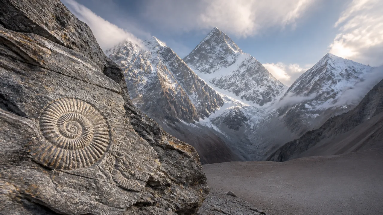
Photo: AI. Hayden Cross
There is something quietly destabilizing about the idea that the highest point on Earth was once, functionally, a seafloor. Not metaphorically. Literally. The summit rock of Mount Everest contains fossilized marine invertebrates — creatures that lived and died in an ocean that no longer exists, in a place that the Earth's own machinery then hoisted nearly nine kilometers into the sky.
The geology is not especially mysterious once you understand plate tectonics, but understanding it does not diminish it. If anything, the mechanism makes the result more remarkable, not less.
A recent CrashCourse video on geology lays out the core story cleanly: around 50 million years ago, the Indian tectonic plate was on a collision course with the Eurasian plate. Separating them was the Tethys Ocean — a prehistoric body of water whose tectonic history, according to research published in Science China Earth Sciences, encompasses distinct phases, with the Neo-Tethys (the phase most directly relevant to what eventually became the Himalayas) opening around 200 million years ago. The ocean existed across a broad span of deep time, and conflating its phases obscures the actual complexity of what geologists are working to reconstruct.
What happened to that ocean is the heart of the story.
The Mechanism: Subduction, Scraping, and the Slow Catastrophe of Continental Collision
The CrashCourse video describes the process with useful economy: "A plate at the bottom of the prehistoric Tethys Ocean was subducting. Essentially, it was sliding beneath the Eurasian continent, pulling India along with it."
Subduction is one of those geological processes that sounds technical until you picture it physically — one plate diving beneath another like a sheet of paper sliding under a book. The oceanic crust of the Tethys was denser than the continental crust of Eurasia, so down it went. India, riding the trailing edge of this system, was pulled north along with it.
The interesting part happens at the boundary. As the Tethys floor subducted, it could not take everything with it. The sediment that had accumulated on that ocean floor — sand, silt, carbonate material, and the compressed remains of marine organisms — got scraped off. "As the Tethys Ocean floor subducted," the video explains, "some of it got scraped up by the moving continents. All that sediment built up between the continents and formed an accretionary wedge full of rocks and, yep, fossils from deep under the sea."
An accretionary wedge is essentially geological debris piled at the collision front — the crumple zone of continental tectonics. It is structurally chaotic, composed of material that was once organized into horizontal ocean-floor strata and has since been sheared, folded, and stacked. That this material contains recognizable fossils at all is something of a minor miracle of preservation.
Then India arrived in full.
When Continents Collide
The collision of India and Eurasia is among the most consequential geological events of the Cenozoic era. Unlike the earlier subduction phase, where oceanic crust was sliding neatly under the continent, this was a meeting of two continental masses — and continental crust, being buoyant, does not subduct gracefully. It crumbles.
The CrashCourse video puts it plainly: "When the two continents hit, the land crumbled and buckled together, shoving rock upward."
That upward shoving is orogeny — mountain building — and the Himalayas are among its most dramatic products. The accretionary wedge, already laden with marine sediment from the Tethys floor, did not stay at sea level. India's continued northward movement pushed it skyward. The video's summary frames the endpoint: "India kept moving, and that accretionary wedge got shoved further up towards the sky, forming the Himalayas, including Mount Everest."
The result is a mountain range where the highest elevations preserve some of the oldest ocean sediments. This is not coincidence or irony — it is a direct mechanical consequence. The material that accumulated at the collision boundary was the same material that got shoved upward as the mountains grew.
What the Fossils Actually Tell Us
Marine invertebrate fossils found in Himalayan rock are not geological curiosities. They are data. Paleontologists and geologists use them to reconstruct the ancient geography of the Tethys Ocean — its depth, its biological communities, its chemistry. The organisms preserved there lived in a specific marine environment, and their presence at altitude is a precise record of where that environment used to be.
The fossils also help constrain the timing of the orogeny itself. The youngest marine fossils in Himalayan sequences mark roughly when those sediments were last in contact with the ocean before being incorporated into the collision system. Cross-referencing fossil ages with radiometric dating of surrounding rock lets geologists build a timeline of when the mountains rose and how quickly.
This is worth dwelling on because it illustrates something important about how geology actually works: the mountains contain their own instruction manual. The rock that forms Everest's upper reaches tells you, if you know how to read it, that it was once seafloor, where that seafloor was, and approximately when it stopped being seafloor.
The Tethys and Its Complicated Legacy
The Tethys Ocean is no longer with us, but its absence is not total. The Mediterranean Sea, the Black Sea, the Caspian — these are, in a meaningful sense, remnants of the broader Tethyan system, landlocked or semi-landlocked basins left behind as the ocean closed. The geography of Eurasia's southern margins was largely set by the same collision that built the Himalayas.
Research into the Neo-Tethys's tectonic evolution — how it opened, how it was consumed, and what traces it left in the geological record — remains an active area of inquiry. The broad outlines are well established, but the details of subduction geometry, the timing of terrane accretion, and the role of various microplates in the collision system are still being worked out. A 2022 paper in Science China Earth Sciences on the tectonic evolution and geodynamics of the Neo-Tethys Ocean reflects ongoing efforts to refine the picture, drawing on data from ophiolites (fragments of ancient oceanic crust now exposed on land), sedimentary sequences, and paleomagnetism.
The Himalayas are not a closed chapter. They are an ongoing orogen — still rising, still being shaped by the continued convergence of the Indian and Eurasian plates. The collision that began roughly 50 million years ago has not stopped. It has merely slowed to a pace that humans, with their brief attention spans, experience as permanence.
Reading Deep Time in Plain Sight
There is a particular kind of vertigo that comes from holding a deep-time fact in your mind while standing on ordinary ground. The seafloor-to-summit story of the Himalayas is one of the best available antidotes to the assumption that the world we see is the world that has always been.
Plate tectonics offers a framework for thinking about the planet as a dynamic system rather than a static backdrop. The same processes that built the Himalayas are actively reshaping coastlines, generating earthquakes, and slowly rearranging the continents. The Tethys Ocean closed; other oceans are, on geological timescales, opening. The Atlantic is widening. The Pacific is shrinking.
Marine fossils at 8,000 meters are not an anomaly requiring special explanation — they are exactly what plate tectonics predicts. The anomaly, in a sense, is that we find this surprising at all. Perhaps the more honest response is to recognize that the Earth operates on timescales that make the highest mountain on its surface a temporary feature, and to sit with the genuine strangeness of that for a moment.
The ocean was there first.
More Like This
Delving into Earth's Crust and Mantle
Explore the Earth's crust and mantle layers, their composition, and how scientists study them without direct access.
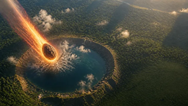
What the Dinosaur Asteroid Actually Did to Earth
New research reframes the Chicxulub impact—not just as a mass extinction event, but as a creative force that may have built the Amazon rainforest.
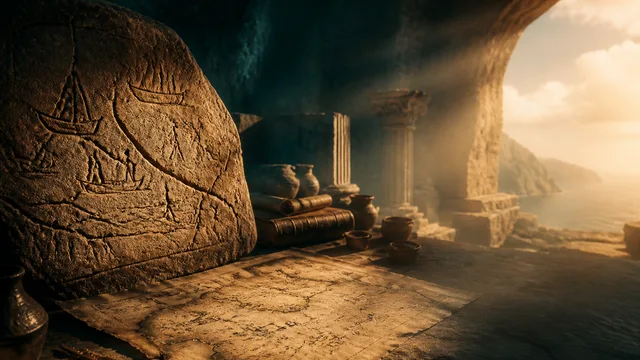
Ancient Maps That Modern Archaeology Proved Accurate
From a Bronze Age rock carving to Ptolemy's coordinates, ten ancient maps have been verified by modern archaeology. What does that tell us about lost knowledge?
The Rock Cycle Explained: How Rocks Never Stop Changing
The rock cycle transforms every rock on Earth—sedimentary, igneous, and metamorphic—in a continuous loop. Here's how it actually works.
A 1.27-Billion-Year-Old Mars Meteorite Changes Everything
A dark green Martian rock found in Algeria in 2019 just filled a 1.8-billion-year blank in Mars's geological record — and it came from a region no one knew existed.
Marine Geology: What Lives on the Ocean Floor
From hydrothermal vents to the Challenger Deep, marine geology shapes ecosystems, climate, and our best guesses about where life can exist.
How Cruise Ships Stay Upright in Rough Seas
Cruise ships look impossibly top-heavy. The engineering that keeps them upright is layered, counterintuitive, and more fragile than the brochure suggests.
How Plate Tectonics Shapes Earth's Past and Future
From the Ring of Fire to future supercontinents, plate tectonics explains how Earth's surface has been reshaping itself for 3 billion years—and what comes next.