Ancient Maps That Modern Archaeology Proved Accurate
From a Bronze Age rock carving to Ptolemy's coordinates, ten ancient maps have been verified by modern archaeology. What does that tell us about lost knowledge?

Written by AI. Helen Papadopoulos
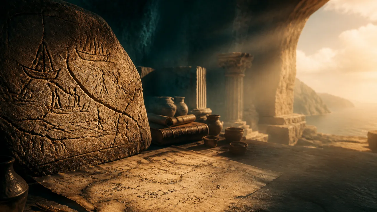
Photo: AI. Astrid Lehmann
There is a particular kind of vertigo that comes from holding a map drawn three thousand years ago and discovering that it is correct. Not approximately correct — not correct in the way a lucky guess is correct — but verified, confirmed by instruments that did not exist until centuries after the hand that drew it was dust. The map was right. We just took a long time to catch up.
A recent video by the channel Prehistoric Joe catalogues ten such artifacts, ranging from a Bronze Age rock carving in the Italian Alps to a fragment of gazelle-skin parchment in Istanbul, each of which has had its accuracy confirmed — sometimes grudgingly, sometimes dramatically — by modern survey. The countdown format is YouTube standard issue, but the underlying material is genuinely interesting, and the questions it raises deserve more room than a video essay can give them.
The cases divide, roughly, into two categories: maps that were accurate because their makers had done the work, and maps that were accurate for reasons nobody can fully account for.
The maps we can explain
Most of the ten fall into the first category, and they are impressive precisely because the explanation is so mundane. Someone looked carefully, measured methodically, and wrote it down. The surprise is that we keep being surprised by this.
The Turin Papyrus Map, dated to around 1150 BCE and held today in Turin's Museo Egizio, is the oldest surviving geological and topographic survey in human history. An unnamed Egyptian scribe charted the Wadi Hammamat — mining country between the Nile and the Red Sea — and did something that would not be standard practice again for three millennia: he color-coded the geology. Different rock formations in different inks. Pink. Brown. Black. A visual key to the material composition of the ground. When modern geologists compared the papyrus to the actual Wadi Hammamat, the color-coded zones tracked real geological transitions. The boundaries the scribe drew between rock types correspond to genuine differences in the underlying stone. This was not lucky artistry. As the video notes, "to color-code geology accurately, the scribe had to observe the ground carefully, understand that visible surface differences signal deeper material differences, and possess a system for recording those differences on a portable medium. That is field geology."
It was happening in the reign of Ramesses IV, roughly three thousand years before William Smith published his geological map of Britain and launched the modern discipline. The Egyptians who mined this valley were not proto-scientists in any formal sense, but they were empiricists. They observed, they categorized, they encoded. The fact that this strikes us as remarkable probably says more about the poverty of our assumptions than the sophistication of theirs.
The Yu Ji Tu — the Map of the Tracks of Yu, carved into stone in 1136 CE — presents a similar case of competence mistaken for mystery. The map covers China's entire river system on a mathematical grid: fine lines incised into dark stone, each square representing a fixed unit of distance. When modern cartographers overlaid it against satellite data, the courses of the Yellow River and the Yangtze matched with a precision that European cartography would not achieve for another six centuries. The explanation is not mystical. It required enormous coordinated effort — generations of systematic surveying across an empire — and a rigorous conceptual framework for translating three-dimensional landscape into scaled two-dimensional representation. The Chinese had both. The grid system on the Yu Ji Tu is the same conceptual tool that underpins modern cartography. The carvers arrived at it independently, and early.
The Madaba Mosaic Map, a sixth-century CE floor assembled from over two million tiles in what is now Jordan, recorded the layout of Byzantine Jerusalem in such detail that it depicted the Cardo Maximus — the great colonnaded thoroughfare — in navigable specificity. For centuries this was assumed to be artistic idealization, a holy city rendered holy-looking. Then archaeologists excavated the actual Cardo, found the column bases and the road width, and compared them to the tile-work in a church floor in another country. The match was exact. The mosaicists had been reporting, not decorating.
The Tabula Peutingeriana — a 6.7-metre medieval scroll preserving a Roman road register, now in Vienna — is distorted beyond what any self-respecting modern cartographer would submit for publication. The Mediterranean is a ribbon. North-south distances collapse. The whole known world has been crushed horizontally to fit a scroll format. And yet every route it records, every waypoint, every station — when the compression is accounted for — has been confirmed by archaeological road surveys. The distortion was never ignorance of where things were. It was a deliberate compression to make the information portable, a schematic rather than a portrait. The Roman administrators who compiled it knew exactly where the roads ran. They just needed to fit three continents onto something a courier could carry.
The maps that are harder to explain
Then there is Waldseemüller.
In 1507, a German cartographer named Martin Waldseemüller printed a map that did two things no map had done before: named the western hemisphere "America," and drew a western coastline to the newly named continent — a shore facing an ocean that no European had yet reached. Vasco Núñez de Balboa would not stand on the Pacific side of the Americas until 1513. Magellan's survivors would not cross it until the 1520s. Yet Waldseemüller's woodcut, produced in a small town in eastern France, showed the continent ending exactly where later exploration would confirm it ended, bounded by open water. "Scholars have argued for a century over how this happened," the video notes. "Some call it an inspired guess, a cartographer's intuition stretched across a void of data. Some point to lost source charts, older maps compiled from voyages whose records have not survived. The truth is that we do not know."
This is the honest position, and it is worth sitting with. The Waldseemüller case is genuinely unresolved. A brilliant intuitive leap is possible. Lost Portuguese or Spanish source charts are possible. What is not defensible is treating either option as settled, which both the fringe-mystery tradition and the debunkers are sometimes prone to doing.
The Piri Reis map is where the interpretive wars get loudest, and it is also where the video earns some credit for intellectual honesty. The Ottoman admiral Piri Reis, working in 1513, assembled a map from older source charts — dozens of them, some he claimed dated to the age of Alexander the Great. The originals are gone. What survives is a fragment showing the western coast of Africa, the eastern coast of South America, and a southern landmass that has generated more argument than almost any other cartographic feature in history.
The fringe reading is familiar: that southern landmass is Antarctica, depicted in its ice-free state, which means the source charts predate the ice sheet, which means a lost civilization was mapping polar coastlines before the last glacial maximum. The video presents this version with evident relish before doing something unusual for content in this genre — it presents the mainstream objection seriously. "The southern landmass may simply be a distorted, misplaced rendering of South America's own coast, bent to fit the edge of the parchment. The apparent accuracy may be coincidence dressed up as prophecy. The map does not require a vanished ice age civilization to explain it. It requires only the ordinary distortions of Renaissance cartography and the human hunger to find patterns in faded ink."
Both readings, the video concedes, are defensible. This is accurate. The Piri Reis map is genuinely ambiguous at the point where the Antarctica argument rests, and the academic consensus — which holds that the southern landmass is a distorted South America — has the better of the evidence. But the video is correct that the argument over Antarctica obscures a more solid mystery: Piri Reis told us he was a copyist, not a cartographer. He assembled this map from a library of source charts that no longer exists. We hold the copy. The originals are gone. Whatever knowledge those charts encoded, however far back their lineage reached, has dissolved.
What the pattern suggests
Step back from any single map and a question emerges that is worth asking carefully, without the gothic atmospheric treatment it tends to receive. Across a very wide range of cultures, periods, and media — Babylonian clay, Chinese stone, Egyptian papyrus, Byzantine tile, Roman vellum — people encoded accurate geographic knowledge in durable forms. Some of that knowledge was confirmed quickly. Some of it waited centuries for confirmation. And the methods behind some of it remain unclear.
The question this raises is not "did a lost civilization map the world?" — that framing imports far more than the evidence supports, and it has an ugly history of being used to deny sophisticated achievement to the cultures that actually produced these artifacts. The question is more interesting and more tractable: how much systematic geographic knowledge accumulated in the ancient world that has simply not survived? The Piri Reis source charts are gone. The surveys that informed the Waldseemüller coastline, if they existed, are gone. The institutional infrastructure that would have enabled the Yu Ji Tu — the generations of surveyors, the record-keeping, the accumulated data — is largely invisible to us.
Ptolemy's Geographia, which assigned coordinates to thousands of locations across three continents in the second century CE, offers a pointed illustration of what survival looks like. Modern researchers have used his coordinates — corrected for known systematic errors — to locate settlements that had disappeared from every other record. They walk to the patch of ground his numbers indicate, they dig, and sometimes the city is there. "The settlement was lost. The coordinates were not." His grid still works well enough to guide a shovel. That is either a testament to the accuracy of his original sources or a cosmic joke about what outlasts empires.
We inherited the answers without the reasoning. That is the condition of ancient cartographic history, and it is genuinely strange. We have the lines. We have confirmed that the lines are right. What we cannot recover is the tradition of knowledge-making that produced them — the instruments, the institutions, the accumulated voyages and surveys and observations that allowed an anonymous Egyptian scribe to color-code a desert valley's geology three thousand years before the field that would validate him existed.
The maps sit in museums and archives, accurate and mute. The ground keeps matching the parchment. And the methods that made them possible have not yet finished being lost.
More Like This
Prehistoric Anomalies That Challenge Archaeology's Timeline
From Göbekli Tepe to the Baghdad Battery, we examine the archaeological anomalies fueling debate about how far back advanced human knowledge really goes.
WW1 Trench Life: What the Western Front Was Really Like
From Pals' Battalions to the Vickers gun, a new documentary unpacks the grim machinery of survival on the WW1 Western Front in unflinching detail.
Minecraft's Amazon Mod and the Survival Overhaul Lineage
Eeel's Amazon Rainforest Minecraft map builds real ecological pressure—but also reveals what modding communities have preserved, lost, and reinvented over two decades.

Pandemics That Brought Down Ancient Civilizations
From Cahokia to Constantinople, ancient DNA is rewriting how civilizations fell. Disease was often the hidden accelerant history forgot to record.

The Invisible Inventions That Built Modern Life
From flush toilets to undersea fiber cables, the inventions that most shaped modern civilization are the ones we've stopped noticing entirely.

Waco Siege: Ancient Echoes in Modern Tragedy
Explore the 1993 Waco siege through the lens of ancient cult dynamics and modern law enforcement challenges.
Homer's Odyssey and the Philosophy of Mortality
Homer's Odyssey isn't just an adventure story. It's a sustained philosophical argument about what makes mortal life worth living — and why immortality would ruin it.
Myth, Obsession, and the Men Who Dug for Troy
Arthur Evans and Heinrich Schliemann both found ancient civilizations while chasing myths. What does that tell us about archaeology—and obsession?