Three Pacific Cyclones at Once: What the Ocean Is Telling Us
Three simultaneous tropical cyclones in the Pacific, named Lowell, Karina, and Marie, raise sharp questions about El Nino, climate change, and storm forecasting.

Written by AI. Nadia Marchetti
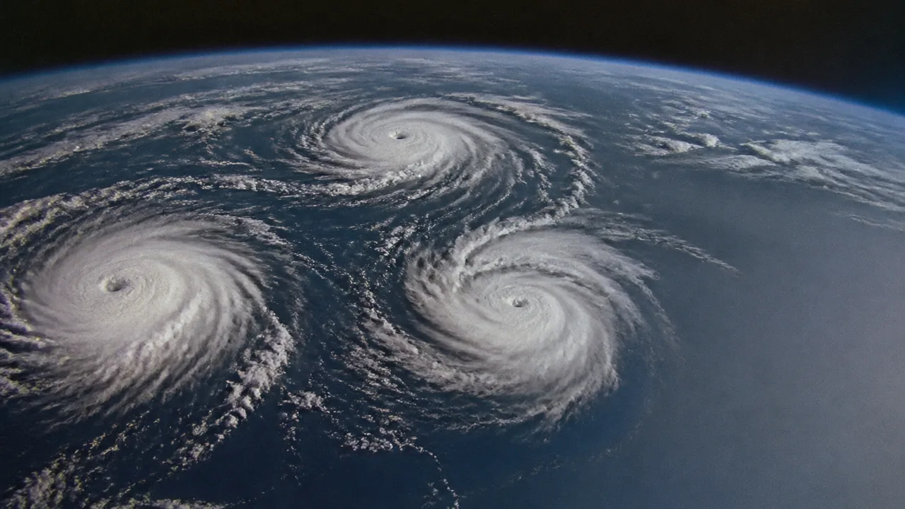
Forecasters are trained to expect complexity. They are not typically surprised by the ocean. When one of them stops and looks again, the atmosphere has done something.
In early September 2026, three named tropical cyclones spun across the Pacific Ocean simultaneously: Lowell, Karina, and Marie. I imagine a forecaster on morning shift, coffee going cold, running the same scan twice. Three. At once. According to NASA's Earth Observatory, the event is rare enough to draw sustained scientific attention, notable both for what the Pacific was doing and for what the Atlantic was not.
The Atlantic, which typically dominates hurricane headlines in late summer, was quiet. The Pacific was throwing a party for three.
Why Three at Once Is Unusual
Tropical cyclone formation requires a narrow set of conditions: warm sea surface temperatures, low vertical wind shear, enough atmospheric moisture to sustain convection, and a pre-existing disturbance to organize around. Getting all of those ingredients in one place is already an event. Getting them in three places simultaneously, across the same basin, requires the ocean and atmosphere to be in an unusually cooperative mood.
According to EarthSky, the trio of storms spinning across the Pacific constitutes a rare visual and meteorological event. What made the conditions ripe? Phys.org points directly at a historic El Nino cycle as the organizing force behind the outbreak, with anomalously warm sea surface temperatures in the central and eastern Pacific providing the thermal fuel that all three systems drew from.
El Nino years reliably tip the scales: warmer Pacific waters, suppressed Atlantic activity, and a reorganization of the atmospheric circulation patterns that determine where storms can grow. The 2026 event appears to be doing exactly that at scale.
The Atlantic Silence Is Part of the Story
September is normally peak Atlantic hurricane season. The relative quiet there while the Pacific ran three storms simultaneously is not a coincidence; it is the same El Nino signature, operating on the other side of the ledger. El Nino increases wind shear over the Atlantic, which disrupts storm development before it can organize. The two basins are physically connected through atmospheric teleconnections, meaning what suppresses one tends to energize the other.
For communities along the Gulf Coast or the Caribbean who have spent years building preparedness infrastructure around Atlantic hurricane season, a quiet September might read as relief. For atmospheric scientists, it reads as a transfer, not an absence. The energy doesn't disappear; it moves.
The storms themselves, according to NASA, did not pose an immediate threat to heavily populated areas. That changes the emotional register of the story without changing the scientific one. Three cyclones circling the Pacific at once still carries implications for coastal communities, shipping lanes, and the longer-term question of what a warming ocean does to storm frequency and geography.
Climate Change and the Longer Baseline
Here is where the picture gets both clearer and more complicated. The science on climate change and tropical cyclones is settled in some respects and actively contested in others.
On the settled side: warmer ocean temperatures provide more energy for storm intensification. The evidence for rapid intensification events, where a storm jumps multiple categories in 24 to 48 hours, has been growing. The fuel is simply more available. NASA's coverage of these three storms fits into a pattern of researchers using each significant event to test and refine predictive models against real conditions.
On the contested side: whether climate change increases the raw number of tropical cyclones globally, or concentrates the same number into more intense events, remains an active research question. Some studies find a net increase in storms; others find a shift in distribution, with fewer weak storms and more severe ones. The total count may not be the right metric.
A historic El Nino, like the one Phys.org identifies as driving this outbreak, is itself a natural oscillation. But El Nino events appear to be intensifying as baseline ocean temperatures rise, and researchers are actively working out how much of any given event belongs to natural variability versus the long-term trend. For Lowell, Karina, and Marie, that attribution question doesn't have a clean answer yet.
What can be said: three concurrent Pacific cyclones during a record-strength El Nino, in a period of elevated global ocean temperatures, observation that feeds directly into the models trying to map what storms look like over the next 50 years. Each event is a data point. The data is accumulating.
What the Models Need
NASA's Earth Observatory coverage of the event focuses partly on observation capacity: satellite imagery, atmospheric sensing, and the infrastructure for tracking multiple systems simultaneously. The ability to watch three storms at once in near-real time represents a meaningful advance over what was possible even two decades ago.
But watching and predicting are different things. Current models have improved substantially at tracking storm paths; they remain weaker at predicting rapid intensification, at modeling storm behavior in complex multi-system environments, and at connecting short-term events to decadal climate shifts. Three simultaneous cyclones stress-test the models in useful ways. Scientists, as NASA notes, are watching closely.
For coastal communities, the practical stakes of better prediction are direct. Emergency evacuation decisions, infrastructure investments, insurance underwriting, and agricultural planning all depend on understanding not just where storms go but how intense they become and whether the historical frequency assumptions remain valid. If the Pacific is capable of running three concurrent systems more often than it used to, that changes the calculus for the ports, fishing communities, and island populations along its rim.
What September 2026 Is Asking
Lowell, Karina, and Marie will dissipate. El Nino will eventually relax. The Atlantic will return to its usual seasonal aggression next year or the year after. The specific storms aren't the story that outlasts them.
What outlasts them is the question they sharpen: how much of what we're seeing is the ocean doing what it has always done during strong El Nino cycles, and how much of it is a new baseline expressing itself through a familiar pattern? Researchers from NASA to the teams cited by EarthSky and Phys.org are working on exactly that distinction, and they don't fully know.
Three storms spinning simultaneously across the Pacific is the ocean running an experiment. The question is whether we're reading the results correctly.
More Like This
We've Been Teaching Heisenberg's Uncertainty Principle Wrong
The story we tell about Heisenberg's Uncertainty Principle is misleading. Professor Aephraim Steinberg explains what the textbooks got wrong—and what's right.
Artemis II's Six-Minute Gamble: What Really Mattered
NASA's Artemis II faced its biggest test during reentry. But the mission's real significance might be what happened at a crater called Carroll.
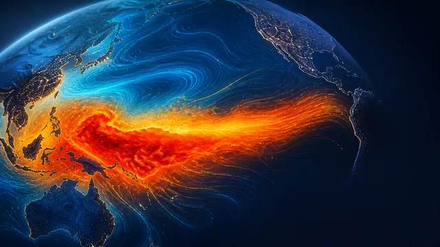
El Niño 2026 Could Be Among the Strongest on Record
NOAA gives a greater than 90% chance of a very strong El Niño by late 2026. Here is what the forecasts actually say, and what they do not.
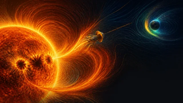
Solar Cycle 25 Was Twice as Strong as Predicted
Solar cycle 25 peaked at nearly double forecast levels. Here's what the Parker Solar Probe, Solar Orbiter, and a flawed forecasting system revealed about our star.

Total Solar Eclipse 2026 Dazzles Spain and Science
The August 12, 2026 total solar eclipse over Spain was a spectacle—and a rare scientific window into a solar mystery we still can't solve.
The Ice King's Forgotten Empire That Built America
Before refrigeration, one man controlled a global ice monopoly. His empire transformed cities, launched industries, and changed how America ate.
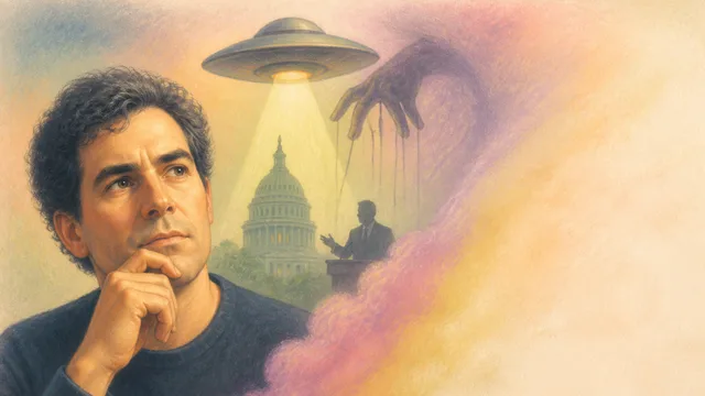
A Physicist Calls UFO Disclosure a Distraction
Physicist Brian Keating tore through the latest government UFO release and found nothing. His argument: the timing alone makes it suspect.
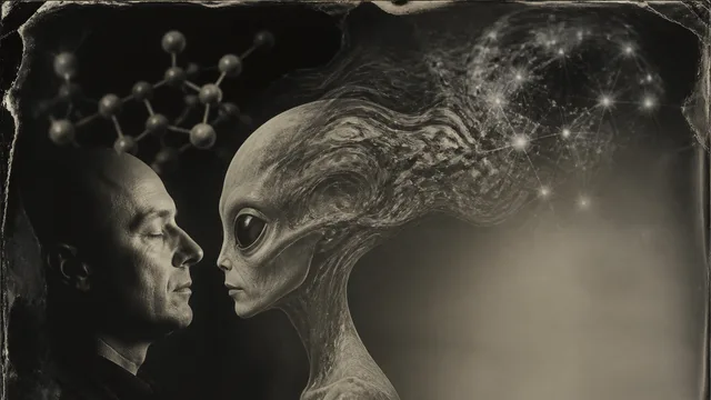
Do DMT Entities Point to Alien Consciousness?
Cognitive scientist Donald Hoffman claims DMT entities may be real alien minds. The math is real. Whether it proves anything about consciousness is a different question.