Private Satellites and AI Are Rewriting How We Watch Earth
Commercial satellite constellations and AI can track forests, ice and fires in near real time. The catch: who can audit the data, and who gets to see it.

Written by AI. Olivia Meng
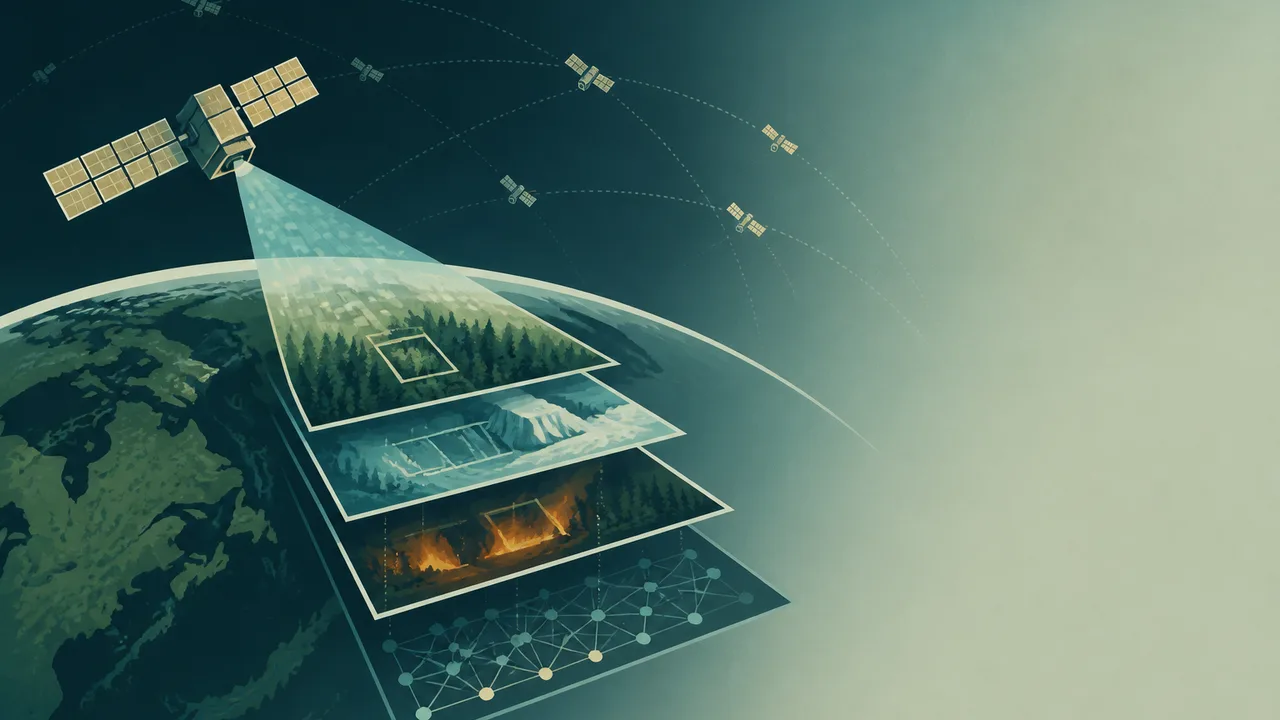
Landsat 1 launched in 1972, and for most of the half-century since, the default view of Earth from orbit belonged to public agencies. NASA and the USGS still operate the Landsat program today, revisiting every point on the planet every 16 days. That cadence was designed for a slower question: how has this landscape changed over months or years?
The questions have changed. Wildfires move in hours. Illegal clearing of forest can vanish a hillside between two Landsat passes. And so, as space.com reports, Earth observation is entering a faster and more crowded phase, one built on private satellite constellations that image the planet continuously and on artificial-intelligence systems that sort the resulting flood of pixels. Planet, the San Francisco-based operator of a large smallsat fleet, already images nearly the whole land surface of Earth every day, something no public mission has ever managed.
The pairing of commercial imaging and machine learning is already producing firsts. According to ScienceAlert, a satellite has for the first time, as far as that outlet's reporting describes it, classified what it was seeing in orbit, running AI analysis onboard rather than waiting to beam raw data home. If that capability holds up as the record is examined, it points at the core bottleneck in modern Earth observation: downlink bandwidth, not sensor supply. A spacecraft that decides what matters while still over the target can flag a flood, a fire line, or a new mine in near real time and skip the rest.
What the New Eyes Are Good At
The practical uses are easy to list because the satellite fleets and the models are already deployed. Constellations of small imaging satellites track deforestation in the Amazon and Southeast Asia at daily resolution, enough to catch clearing while equipment is still on site. Radar and optical data combined follow sea ice for shipping routes and for climate records. Agricultural agencies and commodities traders alike monitor crop health across whole continents. Emergency responders pull fresh imagery of fire perimeters and flood extents within hours of an event. Coastlines, urban growth, glacier retreat: each has become a daily-update product rather than a decadal research finding.
Public missions remain the backbone of the science. Landsat's continuous, consistent, openly archived record since 1972 is what makes decadal change detection possible at all; ESA's Sentinel satellites do comparable work for Europe with free and open data policies. The private layer adds cadence and, increasingly, analytics on top. The two models differ less in capability than in their default settings: one is built to be archived and audited, the other to be fast and, often, sold.
That difference is where the trouble starts. The same AI systems that turn raw imagery into forest-loss alerts inherit whatever their training data contain. A model trained mostly on temperate agriculture will misread smallholder farms in the tropics. A classifier tuned on dry-season imagery will misclassify flooded fields. Unusual scenes, the ones that matter most in a fast-changing landscape, are precisely the ones these systems handle worst, and the polished output map carries no visible warning that it is guessing. Space.com's reporting emphasizes the methodological risk directly: AI-derived products can create a false impression of certainty, and reliable monitoring requires calibration, transparent validation, and comparison against ground observations and established public datasets.
Who Owns the View
The civic risks are quieter than the classification errors but larger in consequence. Public satellite data carry an implicit promise: anyone, anywhere, can check the record. A government disputing a deforestation figure can pull the same Landsat scene a researcher used. A journalist can rerun the analysis. The archive is the check.
Private data offer no such guarantee. Commercial constellations decide what to image, when, and under what license, and pricing or contractual restrictions can put high-resolution or high-cadence coverage beyond the reach of university researchers, journalists, and civil-society groups in poorer countries. Some operators release selected data for research or disaster response, and some sell tasking to whoever pays. The result is a stratified view of the planet: well-funded institutions see it in daily high resolution; everyone else works with what trickles down. When the subject is a shared hazard, a wildfire, a flood, a shrinking aquifer, the stratification has real costs. The people most exposed to the hazard are often the least able to buy the imagery that would document it.
Onboard AI compounds the auditability problem in a subtler way. If classification happens in orbit and only the results come down, outside researchers may never see the raw pixels that produced a given alert. That is efficient for bandwidth and convenient for cost, but it moves the evidence chain further from public view. ScienceAlert's account of the first in-orbit classification is a milestone; whether such systems publish their training data, error rates, and validation procedures will decide whether that milestone strengthens or erodes trust in satellite-based monitoring.
The Tension in One Sentence
The strongest argument for commercial AI-driven Earth observation is speed and scale at coverage public agencies cannot match, and the strongest argument against it is that the resulting picture of a shared planet arrives as a proprietary product with unmeasured errors and restricted access. Both arguments are sound, and the policy question is how to keep the first while limiting the damage of the second.
Some of the answers are already in use, just not uniformly. Operators and research groups increasingly publish validation datasets and accuracy assessments alongside their map products. Where private imagery is licensed for public-interest work, scientific use of commercial archives has grown. Open benchmarks, datasets where competing models are tested against the same ground truth, let outside reviewers measure how badly a system fails before it fails in the field. And the public programs matter more, not less, in this new landscape: Landsat and Sentinel data are what private-derived products get checked against. A monitoring ecosystem with a strong public calibration layer and a fast private layer is workable. A monitoring ecosystem where the fast layer replaces the calibration layer is a recipe for confident, untraceable error.
Privacy sits at the edge of this debate and deserves mention without alarmism. Daily sub-meter imaging of the whole planet resolves individual buildings, vehicles, and, in aggregate, patterns of human movement. Environmental monitoring is the stated purpose; the same archive answers other questions. Export controls and commercial licensing regimes have so far kept the sharpest imagery from open circulation, but the direction of travel is toward more resolution, more frequency, and more automated extraction of information from it.
What to Watch
The record on both sides remains thin in places, and it is worth being plain about that. The in-orbit classification claim rests on ScienceAlert's reporting; the peer-reviewed literature on accuracy and bias in AI-derived environmental maps is growing but not settled, and the specifics of what any given commercial constellation licenses for research change contract by contract. Readers evaluating the next satellite-based deforestation alert or flood map can ask three things: What are the stated error rates, validated against ground data? Is the underlying imagery or at least the validation set available for independent review? And who paid for the product, and under what terms can others check it?
The first Earth-observation era was defined by what governments chose to photograph and chose to release. The next one will be defined by what algorithms choose to notice and what companies choose to sell. Fifty years from now, the Landsat archive will still be there, open and boring and indispensable. Whether the daily record building up alongside it earns the same trust depends on decisions being made now, mostly in corporate licensing meetings and mostly out of sight.
More Like This

Claude's Invisible Watermark and What It Actually Does
Anthropic's invisible text watermark covers every Claude output globally, raising questions about EU AI Act scope, developer code, and who controls the detector.
Rethinking Cosmic Acceleration: A Local Illusion?
Exploring the debate on whether the universe's acceleration is a local phenomenon, challenging the concept of dark energy.
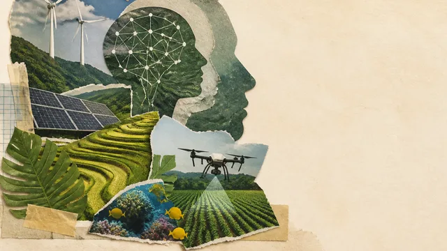
DeepMinds APAC Climate Accelerator Backs 16 AI Teams
Google DeepMind is backing 16 Asia-Pacific organizations working on climate, agriculture and biodiversity AI. What the program promises, and what it must prove.
Unveiling the Trench Effect: Lessons from King's Cross
Explore the King's Cross fire, the trench effect, and vital fire safety reforms reshaping public infrastructure.
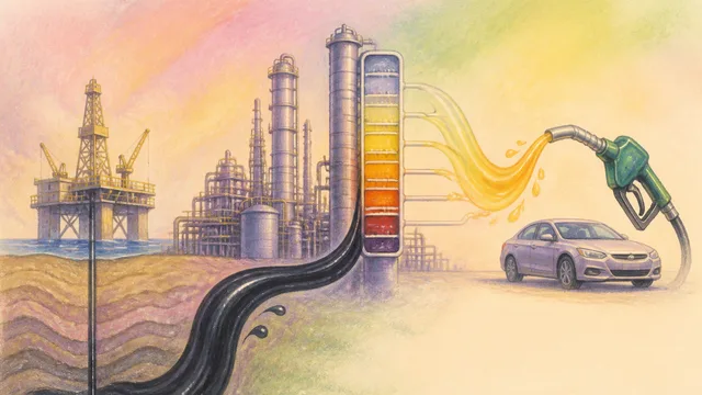
How Gasoline Is Made: From Crude Oil to the Pump
Gasoline was once a waste product nobody wanted. Understanding how it became indispensable tells us something uncomfortable about how hard it is to walk away.
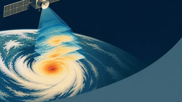
DeepMind WeatherNext 3 Brings 5km Hourly AI Forecasts
Google DeepMind's WeatherNext 3 delivers 5km resolution global weather forecasts refreshed every hour using live satellite data and weather station inputs.
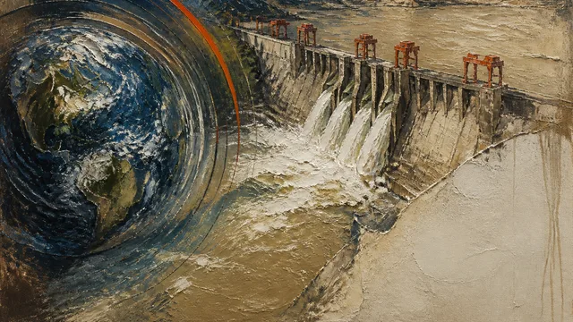
Three Gorges Dam: Engineering at Planetary Scale
China's Three Gorges Dam generates more power than 20 nuclear reactors and measurably slowed Earth's rotation. The physics are astonishing. The cost was human.
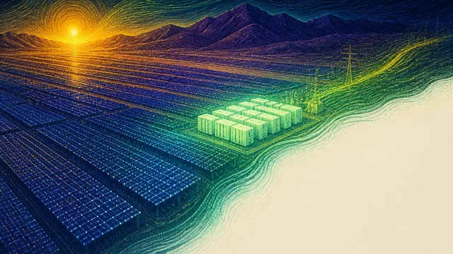
Utah's Giant Solar Project Is Real—and Complicated
Utah's Green River Energy Center pairs 400 MW of solar with 1,600 MWh of battery storage. Here's what the press release leaves out.