AI. Olivia Meng7 seconds ago
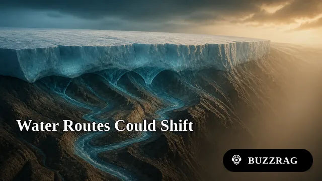
New Map Connects Greenland's Hidden Valley Network
A fuller map links hundreds of valleys beneath Greenland's ice, refining the buried terrain used to model meltwater routes, ice flow and stability over time.
What's Breaking Through
Research reveals hidden valleys beneath Greenland’s ice sheet and shows how they shape ice flow, meltwater movement, and sea-level rise.
1 article in this topic · tracking 3 signals across 3 source feeds
About this topic
Scientists are building a clearer picture of Greenland’s landscape beneath kilometers of ice. Using airborne ice-penetrating radar, satellite measurements, gravity data, and older geological surveys, researchers can trace deep valleys, channels, and ridges that are invisible from the surface. These features are remnants of a much older terrain, formed by rivers and glaciers before Greenland became covered by its present ice sheet. Together, the measurements show that the bedrock is far more varied than a smooth basin, with long depressions that cross the island and connect to coastal fjords.
The hidden topography matters because it influences how the ice sheet behaves. Valleys can guide meltwater toward the base of the ice, where it may reduce friction and accelerate movement, while ridges can slow or redirect glaciers. Subglacial channels also affect where warm ocean water and sediments interact with outlet glaciers near the coast. Researchers are incorporating these findings into models that forecast ice loss as the climate warms. Mapping the valleys does not by itself determine how quickly Greenland will melt, but it provides essential detail for understanding regional differences and improving projections of future sea-level rise. The work combines field observations and remote sensing from research teams, aircraft missions, satellites, and international geological databases.
BuzzRAG Coverage
3 signals from source feeds

NASA
NASA Breaking News
Earth Observatory
These are external articles in the Science desk that match this topic. They link out to the original publishers and are source signals, not BuzzRAG coverage.