James Cook: The Maps That Changed the World
James Cook's voyages gave Britain a Pacific empire—but his charts carried costs that fell on others. A look at the man behind the maps.

Written by AI. Margaret "Maggie" Holloway
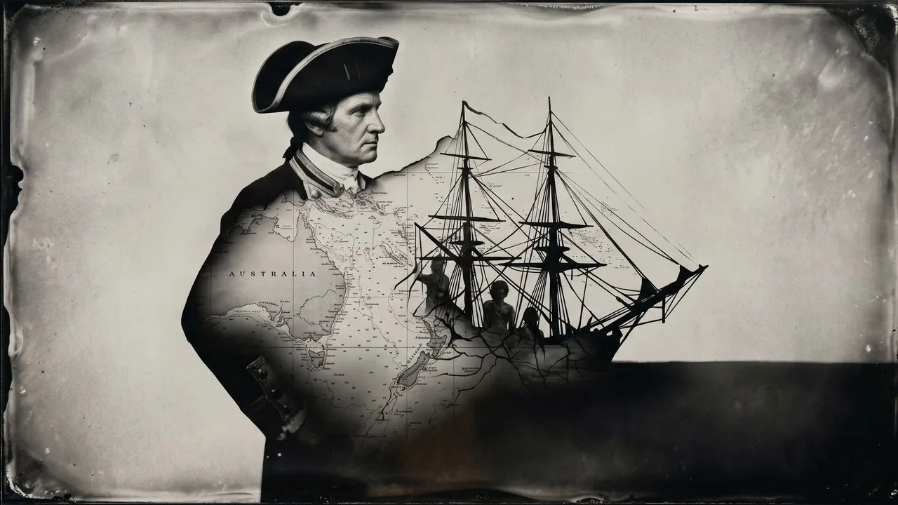
Photo: AI. Otieno Okello
On the 26th of August 1768, HMS Endeavour cleared the port of Plymouth with 94 people aboard and a mission that was, on paper, astronomical. The Royal Society needed someone to sail to Tahiti and observe the transit of Venus—the planet's rare passage across the face of the sun—so that scientists could calculate, via trigonometry, the precise distance from the Earth to the Sun. It was legitimate, urgent science. The 1761 transit had yielded poor data. The next pair wouldn't come until the 1870s.
The man chosen to command the Endeavour was a 39-year-old lieutenant named James Cook, a former Yorkshire farm boy turned Royal Navy surveyor who had spent the previous five summers mapping Newfoundland's coastline in meticulous detail. He was not famous. He was not connected. He was, by every available account, extraordinarily good at knowing exactly where he was.
That talent—spatial, mathematical, patient—is the hinge on which this story turns. And like most hinges, it connected things that don't always sit comfortably together.
The Education of a Cartographer
Cook's origins matter, not as biographical color, but because they shaped his methods. He was born in 1728 to a Scottish day laborer and his Yorkshire wife, in a village in the North Riding. The family had no money and no connections—"not wealthy and not well connected in the way that earlier famed English explorers like Francis Drake and Walter Raleigh were," as the documentary James Cook: The Tragic Cost of Mapping the World from The People Profiles puts it. Drake came from a seafaring family. Raleigh came from court. Cook came from a farm.
What he had instead was mathematics. When his father became a farm manager and could afford a fee-paying school, Cook absorbed it. When he apprenticed to a Quaker coal merchant in Whitby at 19, he learned to navigate the shallow, treacherous waters between Newcastle and London. When the Royal Navy offered him a commission in 1755—forgoing a captaincy in the merchant fleet that would have paid better and demanded less—he took it. The documentary frames this as ambition, and it was. But it was also a particular kind of ambition: Cook wanted to go further, and the Navy was the institution that made that possible.
His formation as a surveyor happened in Canada, during the Seven Years' War. Assigned to HMS Pembroke in 1757 and dispatched to North America, Cook spent his wartime years charting the St. Lawrence River—the waters Wolfe's fleet needed to navigate in order to take Quebec. The military application was direct: without accurate charts, the fleet couldn't move. The night before the Battle of the Plains of Abraham in September 1759, Cook participated in an elaborate deception operation against the French. But the thing that would define his career wasn't the battle. It was the charts he produced during the winters in Halifax, studying the coastlines of Newfoundland and the Gulf of St. Lawrence with a devotion that the Admiralty in London found unusual enough to reward.
By the time he was sent south to the Pacific, Cook had already spent a decade learning that a coastline is a kind of argument—and that whoever measures it most accurately wins it.
The Transit and the Secret Orders
The Tahiti voyage was never purely scientific, and Cook knew it. Alongside his formal instructions from the Royal Society to observe the transit of Venus, he carried sealed orders from the Admiralty directing him to search for the hypothetical Terra Australis Incognita—the great southern continent that European geographers had long theorized must exist to "balance" the landmasses of the northern hemisphere—and to chart New Zealand and the eastern coast of Australia.
The transit observation itself was, by Cook's own account, a partial failure. Distortion effects blurred the planet's disc at the critical moments of ingress and egress, and his readings contradicted those taken by observers he stationed elsewhere on the island. The science, ultimately, was inconclusive.
The rest of the voyage was not.
Cook's six months in Tahiti—constructing a fort and observatory he named Fort Venus, negotiating with local chiefs, managing the relentless theft of iron fittings by islanders who understood their value better than his crew did—were revealing in ways the documentary handles with some care. The Endeavour's men arrived carrying venereal disease (contracted from earlier European contact; this was not their first visit) and carrying assumptions about gift exchange that bore no relationship to Polynesian social practice. Cook, trying to hold everything together, once arrested local chiefs as hostages over a missing navigational quadrant. "Cook was embarrassed," the documentary notes, when botanist Joseph Banks quietly retrieved the instrument through diplomacy. It is a small moment, but it says something: the habits of European authority were not always adequate to the situations Cook found himself in.
What followed the departure from Tahiti on the 11th of July 1769 was the expedition's real achievement. Cook charted the Society Islands, mapped the full coastline of New Zealand's two islands with a running survey that has stood up remarkably well to modern GPS verification, and then turned west—not home—to explore the eastern coast of what the Dutch had called New Holland and what Cook named New South Wales.
Botany Bay and What Came After
He landed at what he called Botany Bay on the 28th of April 1770. The Australian Aboriginal peoples he encountered there could not understand Tupaia, the Tahitian high priest who had guided Cook through Polynesia and served as his interpreter across the Pacific. The Endeavour moved north. On the 11th of June, it struck the Great Barrier Reef in the dark, twenty miles from shore. "The mariners threw everything overboard in an effort to refloat the ship," the documentary recounts. "By late afternoon, all hands were manning the pumps as water came rushing in." They got her off by ten that night, barely. Cook then spent weeks threading the ship through the reef before finally clearing it—navigating what is still considered one of the most technically demanding bodies of water on earth, using a lead line and a prayer.
He sailed home via Batavia—modern Jakarta—where malaria killed several of his crew, including Tupaia, who had brought his knowledge of Pacific geography aboard and shared it generously, and who died without ever seeing the England he had wanted to visit. More men were lost to dysentery in the Indian Ocean. By the time the Endeavour reached England in July 1771, roughly a quarter of the crew were dead.
The public reception was telling. Initial attention focused not on Cook but on Banks and the Swedish botanist Solander, whose plant collections from Botany Bay thrilled the scientific establishment. King George III ordered the specimens preserved. Cook, the man who had actually navigated three oceans, was almost incidental to the story the newspapers told.
The Ledger
The People Profiles documentary frames Cook's story as a tragedy, and his death—killed in Hawaii in 1779 during his third voyage, in a confrontation that historians still argue about—gives that framing structural support. But the more complex cost runs through the earlier voyages too. Cook's charts of New South Wales were the direct instrument of British colonization. When the First Fleet arrived at Botany Bay in 1788, it was navigating with Cook's maps. The men and women on those ships were following a line he had drawn on paper eighteen years earlier. The Aboriginal peoples who had lived on that coastline for tens of thousands of years were not consulted about what those lines meant or who drew them.
This is not a case where the evidence "clearly favors one side" in a simple moral argument—Cook was not a colonial administrator, held no personal authority over what happened after him, and expressed what the documentary calls "moral reservations" about some of the military conduct he witnessed in Canada. He was, by the standards of his profession and his era, unusually careful about crew welfare and genuinely curious about the peoples he encountered. But those are his standards and his era. The question of what his maps made possible is a separate question, and it doesn't become smaller because the cartographer was conscientious.
What maps do—what they have always done—is make territory legible to power. Cook made the Pacific legible. He was exceptionally good at it. The uses to which that legibility was put were not his to control. But they were, in the most literal sense, his work.
More Like This
The Engineer Who Got Kicked Out of College—Then Hired
James Everingham's tech career started with a 0.0 GPA and an FBI visit. His path from teenage hacker to Instagram's head of engineering defies convention.
WW1 Trench Life: What the Western Front Was Really Like
From Pals' Battalions to the Vickers gun, a new documentary unpacks the grim machinery of survival on the WW1 Western Front in unflinching detail.
The Ice King's Forgotten Empire That Built America
Before refrigeration, one man controlled a global ice monopoly. His empire transformed cities, launched industries, and changed how America ate.

St. Nicholas: From Bishop to Beloved Santa Claus
Explore St. Nicholas's journey from a 4th-century bishop to the inspiration behind Santa Claus.

What Netflix's Culture Memo Couldn't Scale
A retired Netflix engineering director reveals how the company's legendary culture worked brilliantly—until it didn't. The scaling problem nobody talks about.
Exploring Mont Orgueil: A Fortress of Secrets
Discover the hidden history and strategic significance of Mont Orgueil Castle in Jersey, unearthed by Time Team's archaeological investigation.

The Invisible Inventions That Built Modern Life
From flush toilets to undersea fiber cables, the inventions that most shaped modern civilization are the ones we've stopped noticing entirely.
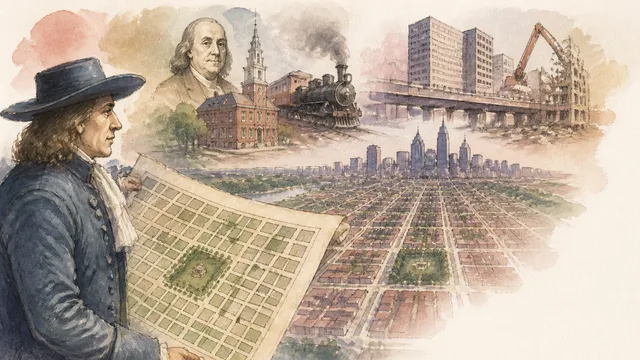
How William Penn's 1682 Grid Still Shapes Philadelphia
From Penn's Quaker grid to Ed Bacon's urban renewal, Daniel Steiner's video traces how Philadelphia's original plan survived — and who it cost along the way.